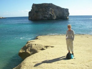
Hondoq is a tiny bathing beach at the east end of Gozo. A short canoe paddle east of the beach is a big rock about 100m off a tiny, apparently inaccessible beach. This easy to follow 1km walk leads from a reasonable parking space above Hondoq down the the tiny beach.
Maps
Malta Environment and Planning Authority (MEPA) produces an excellent 1:25000 topographical map of Gozo and Comino printed on good paper but it is hard to get hold of a copy outside Malta. Stanfords have had it “out of stock” for months. We went to the MEPA office in Sir Luigi Camilleri Street Victoria in Gozo to get one. The receptionist took one look at us and said “you have come for a map” and reached under her desk to get one.
Positions
Gozo maps are based on the UTM grid and European 1950 datum. To plot positions from a modern WGS 84 GPS such as found in a mobile phone it is necessary to “move” the map approximately 160m west and 220m north. Of course, if you can persuade your phone GPS to speak European 1950 datum you will not need to do this.
Start
On the road out of Qula down to Hondoq bay, pass the Santa Maria church and go another 300m and turn sharp left just by the first of a line of high voltage electricity poles (watch out for the big concrete block).
The road widens enough to park after about 50m. Take care: there is a long steep unfenced drop into the quarry on the seaward side of this road.
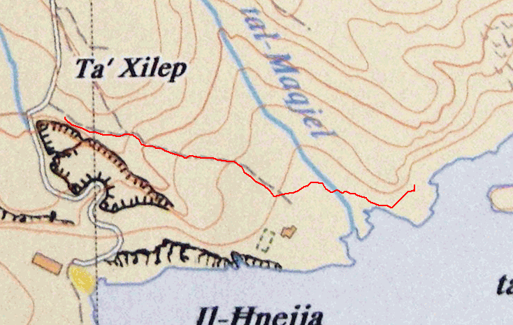
Follow the road down until your way forward is blocked by a gate across the road. This is more or less where the track on the map ends and the red GPS track takes a sharp left. You need to approach the gate very closely to see the path leaving the road to the left along the side of the building. The path goes around the edge of a field and drops down into
Wied tal Maqjel, which was dry when we were there even though it had been raining heavily. This is a real foot path: not a tractor track.
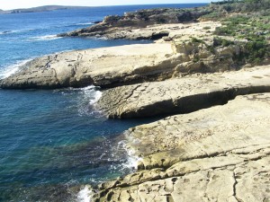
Follow the wied down toward the coast. The path splits with one branch, right, leading down to the first cove, pictured, and the left branch, which you should follow, around the low cliff on the east side of the cove. Take care of the steep drop to your right. The “beach” in the cove is not really a beach at all but a large table of flat yellow rock. There is a large sign saying “CABLE”. There is a deep cut into the rocks seen in the centre of the picture
The path drops down off the cliffs as it leaves the east side of the cove and onto flat rocks and Gebel tal Halfa comes into view.
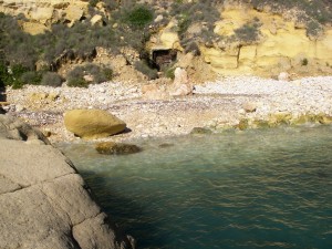
The beach is small and bolder strewn and shelves steeply into clear water. The flat rocks provide good shelter in winds from west. The walk from the car is a tad less than 1km and takes about 20 minutes. With a 60m drop from car to sea level, it takes a bit longer on the way back!


